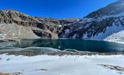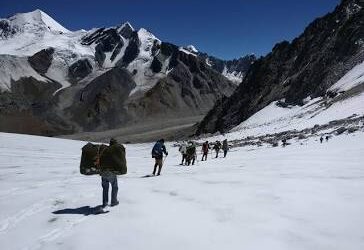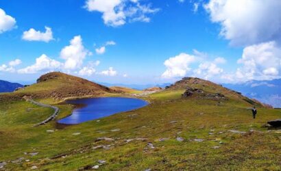
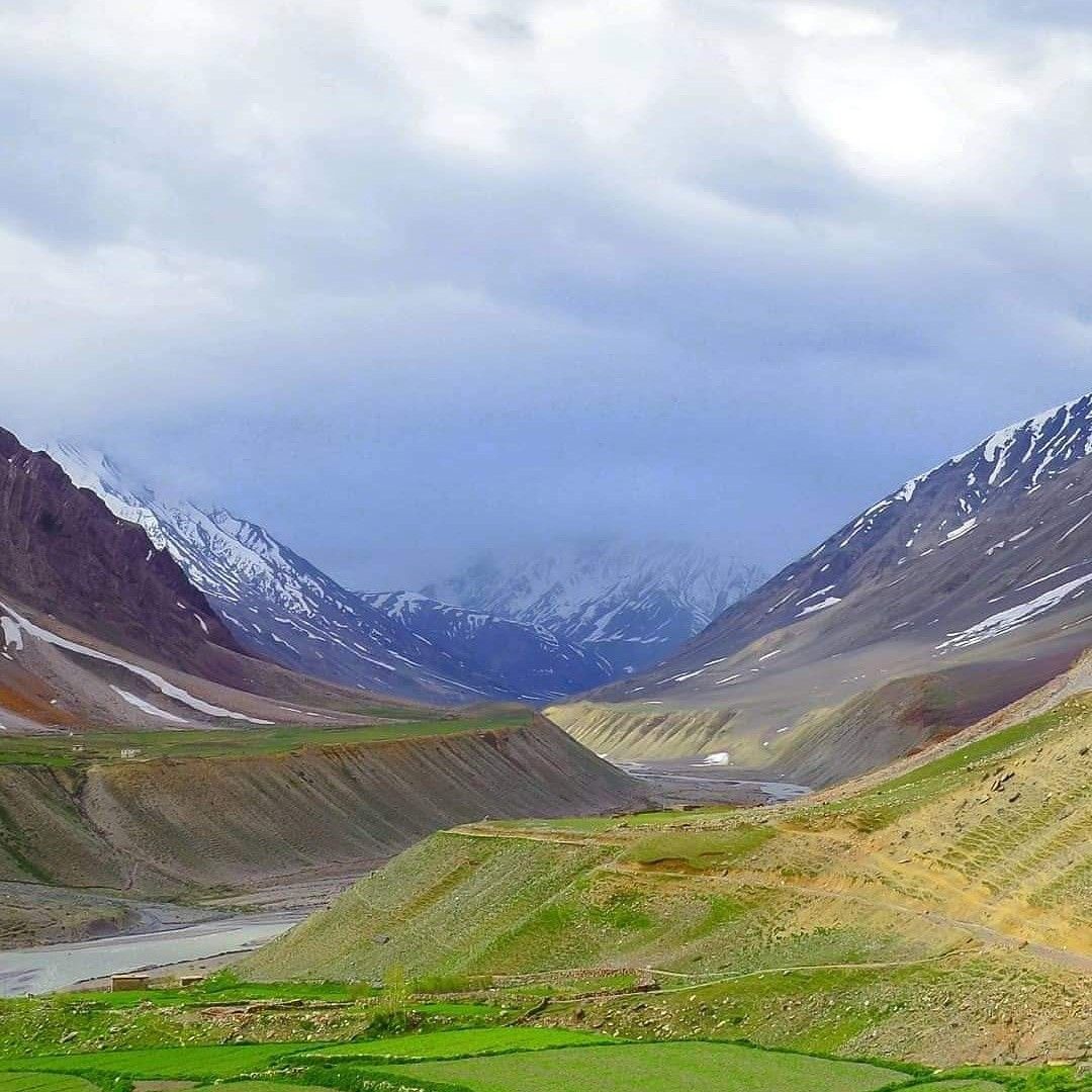
The Pin Parvati Pass Trek is one of the most challenging and rewarding high-altitude treks in the Indian Himalayas. Connecting the lush Parvati Valley in Kullu, Himachal Pradesh, with the rugged and remote Pin Valley in Spiti, this expedition offers an incredible journey through diverse Himalayan landscapes.
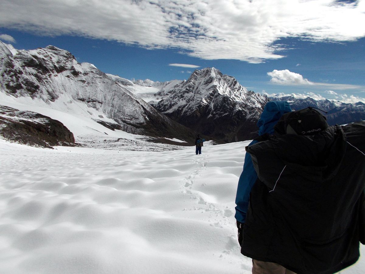
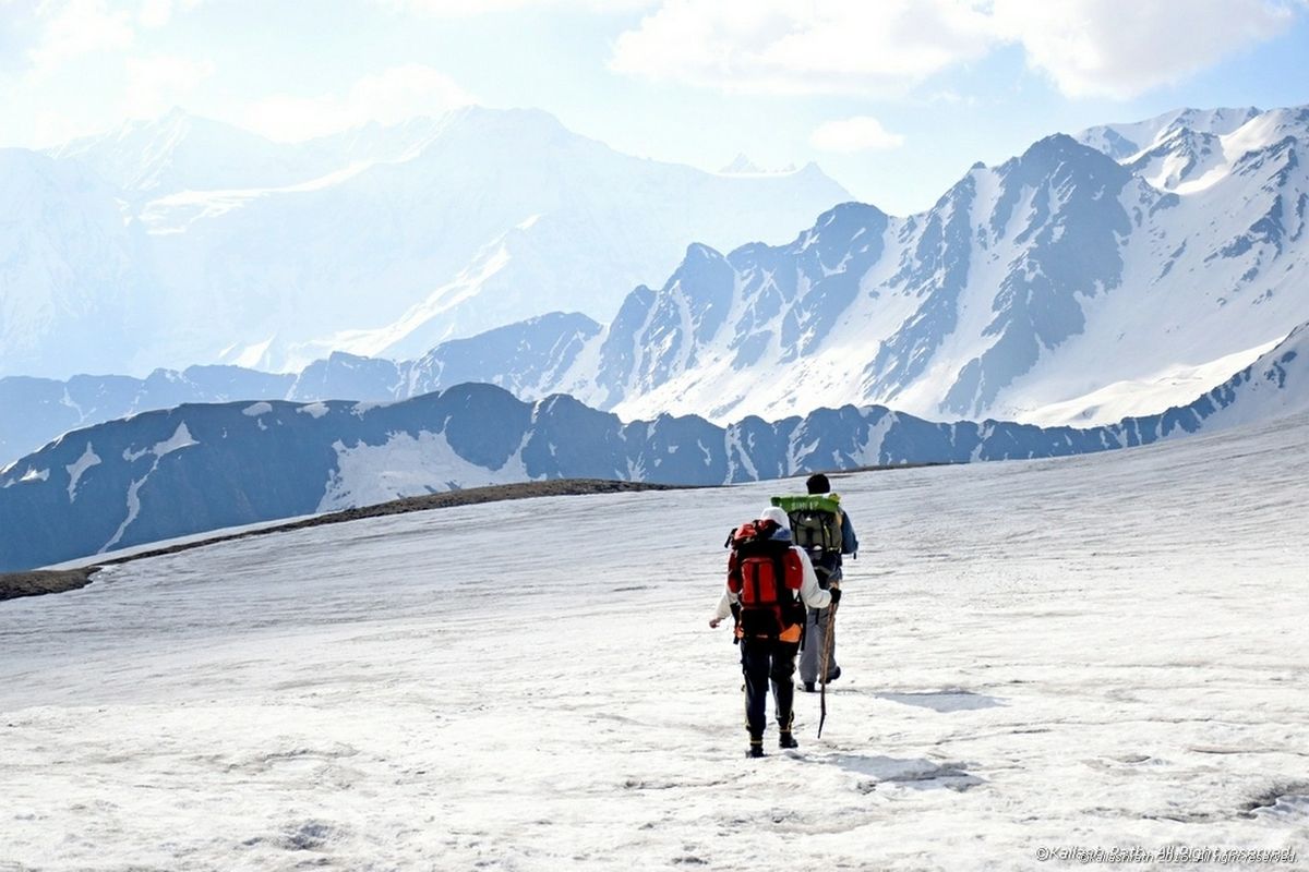
The trek takes adventurers through dense forests, beautiful alpine meadows, glacial streams, vast moraines, snowfields, and dramatic mountain terrain. As the trail climbs towards Pin Parvati Pass, the scenery becomes increasingly rugged, with spectacular views of snow-covered peaks and remote Himalayan wilderness.
Unlike many popular Himalayan treks, Pin Parvati Pass is a demanding expedition that requires excellent physical fitness, prior high-altitude trekking experience, and careful preparation. Crossing the high mountain pass involves challenging terrain, changing weather, and potential glacier hazards, making an experienced trekking team essential.
With Touch Himalayas, trekkers can plan this extraordinary adventure with a focus on preparation, safety, local knowledge, and responsible travel. If you are looking for a serious Himalayan challenge and an opportunity to explore some of India’s most remote mountain landscapes, Pin Parvati Pass can be an unforgettable expedition.
Overview
The trek takes adventurers through dense forests, beautiful alpine meadows, glacial streams, vast moraines, snowfields, and dramatic mountain terrain. As the trail climbs towards Pin Parvati Pass, the scenery becomes increasingly rugged, with spectacular views of snow-covered peaks and remote Himalayan wilderness.
Highlights
- Cross the High Himalayan Pass - Reach an altitude of approximately 5,319 metres (17,451 feet) on a demanding expedition through rugged, remote mountain terrain.
- Explore the Beautiful Parvati Valley - Walk through forest trails, green meadows, river valleys and scenic mountain campsites.
- Visit Mantalai Lake - Discover a remote high-altitude lake surrounded by dramatic Himalayan landscapes along the traditional trekking route.
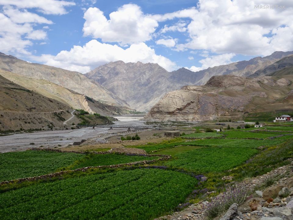
- Experience the Contrasting Landscapes of Spiti - The route transitions from the greener Parvati Valley to the rugged, dry mountain landscape of Pin Valley.
Itinerary
Stay: Overnight stay at the campsite.
Meal: Dinner
Distance: Manali to Barshaini by road (91 km), Barshaini to Kalga by trek (3 km).
Time Taken: Manali to Barshaini by Road (approx. 5 hours), Barshaini to Kalga by Trek (approx. 1 hour)
Altitude: Manali (6726 ft, 2050 mtr), Barshaini (7218 ft, 2200 mtr), Kalga (7480 ft, 2280 mtr).
Altitude Difference: Manali to Barshaini (492 ft/150 mtr), Barshaini to Kalga (262 ft/80 mtr)
Trek Grade: Gradual
The first day of your trip starts in Manali, where you will arrive. At Manali, you will be met by a Touch Himalayas representative who will meet you at the designated pickup place. Then, you will begin your journey from Manali to Barshaini by road, followed by a trek from Barshaini to Kalga. As you start your road journey, you will get a delightful view of thick pine forests and green grasslands as you come close to Barsheni Village. After a short drive through the mountains, you will reach Barsheni. From the Barsheni campsite, you will begin a short trek, and for the remaining day, you will be resting.
Stay: Overnight stay at the campsite.
Meal: Breakfast, Lunch, and Dinner
Distance: 10 km.
Time taken: approx. 7 hours
Altitude: Kalga (7480 ft/2280 mtr), Kheerganga (9514 ft/2900 mtr)
Altitude Difference: 2034 ft/620 mtr
Trek Grade: Gradual
We would wake up to a picturesque sunrise view between the mountains and clouds floating around. As you begin your trek from Kalga, you will first cross a bridge over the River Parvati. After crossing the bridge, you will walk through the forest on a slightly uphill trail. Soon, you will reach Khirganga, where there are meadows; after passing Khirganga, you will see a pine forest with a waterfall. The route would now be sharply uphill, and as you walked, you would start seeing oak, chestnut, and walnut trees.
Stay: Overnight stay at the campsite.
Meals: breakfast, lunch, and dinner.
Distance: 13 km.
Time taken: approx. 8 hours
Altitude: Kheerganga (9514 ft/2900 mtr), Tunda Bhuj (11,000 ft/3350 mtr)
Altitude Difference: 1486 ft/450 mtr
Trek Grade: Gradual
With the Parvati River flowing at your side, you can begin your day with a delicious breakfast prepared by Trekup India Chief. You would start your trek with a trail leading through the grasslands, and the trail would then move uphill. After crossing a stream via a temporary bridge with the forest around, from there, we would be walking up the peak. As you move ahead of the trail, you will start seeing Pin Parvati Valley and then reach Tunda Bhuj. After a long trek, you finish your day excursion with a delicious, warm dinner.
Stay: Overnight stay at the campsite.
Meal: Breakfast, Lunch, and Dinner
Distance: 11 km.
Time taken: approx. 7 hours
Altitude: Tunda Bhuj (11,000 ft/3350 mtr), Thakur Kuan (11,650 ft/3550 mtr).
Altitude Difference: 650 ft/200 mtr
Trek Grade: Gradual to Moderate
With warm tea and beautiful scenery of meadows, forests, and flowers blooming, these sights await on this trek. You will begin your hike by walking up to a bridge below a gushing river, which you will be crossing, and the bridge is very long. After crossing the bridge, you will begin your uphill climb, and we will pass through an inclined, rocky meadow. In Manali, trekking creates a perfect frame for the surrounding scene. Next, we would cross Pandu Bridge, walk to the Parvati River, and finally reach farming fields. Soon, we would reach the camping site at Thakur Kuan.
Stay: Overnight stay at the campsite.
Meal: Breakfast, Lunch, and Dinner
Distance: 9 km.
Time taken: approx. 6 hours
Altitude: Thakur Kuan (11,650 ft (3550 mtr) and Odi Thach (12,400 ft (3800 mtr)
Altitude Difference: 750 ft/250 mtr
Trek Grade: Gradual
This morning, wake up on time and prepare for the trek ahead; today’s trek will be a moderate-level trek. We would cross different terrains and pass through various streams, including the Parvati River, which flows through the trail. The trail will then pass through the dense forest, after which lies vast grasslands; you will know that you are in the Thakur Kaun region. When you see vast orchids of flowers with some small trees, a problematic section of the trek is the Pandu Bridge. Upon reaching Odi Thach, you would be camping for the night and feeling a lot of gushing winds.
Stay: Overnight stay at the campsite.
Meal: Breakfast, Lunch, and Dinner
Distance: 12 km.
Time taken: approx. 8 hours
Altitude: Odi Thach (12,400 ft/3800 mtr), Mantalai Lake (13,600 ft/4150 mtr)
Altitude Difference: 1200 ft / 350 mtr
Trek Grade: Gradual to Moderate
Today’s trek will lead you through a muddy section, which is slippery; the trail will then pass through the moraine area. The route would then climb sharply when you reached Mantalai Lake. This lake is the source of the Parvati River, and it is at an elevation because there’s a chance that you may get AMS. So, taking necessary action, like keeping oneself hydrated, is essential. You will soon have a resting stop for the day.
Stay: Overnight stay at the campsite.
Meal: Breakfast, Lunch, and Dinner
Distance: 11 km.
Time taken: approx. 8 hours
Altitude: Mantalai Lake (13,600 ft (4150 mtr) and Pin Parvati Base Camp (16,300 ft (4950 mtr)
Altitude Difference: 2700 ft/800 mtr
Trek Grade: Gradual to Moderate
This is another trekking day, where you will leave Mantalai Lake behind and pass through some streams, high rocky areas, and icy glaciers. We would catch sight of local shepherds grazing their livestock. To reach Mantalai Lake, you would cross two or three mountain slopes. On this trail, you might see endangered flower species like ‘Losars’ and ‘Brahmakamals’. We would then be climbing a steep mountain section; it is at a high altitude. We enjoy the majestic peaks of Kinnaur, Kullu, and Spiti. Soon after walking for a long while, we would reach the campsite, Pin Parvati Base Camp.
Stay: Overnight stay at the campsite.
Meal: Breakfast, Lunch, and Dinner
Distance: 15 km.
Time taken: approx. 12 hours
Altitude: Pin Parvati Base Camp (16,300 ft/4950 mtr), Pin Parvati Pass (17,500 ft/5334 mtr)
Altitude Difference: 1200 ft (384 m)
Trek Grade: Moderate to Difficult
As you travel today, you will reach the primary destination for which you came on this trek. We would take this long travel pass through Spiti Valley; as we began our trek, we would pass through glaciers and boulder-led trails. After walking for a few hours, we would arrive at the top of Pin Parvati Pass; from the top, we would see the whole of Pin Valley towards Srikhand Mahadev. Upon coming down, the trail would lead through snow-filled fields, and as you walked forward, the snowy ground would change to grassland. There are rocky sections ahead as you walk down, and then you pass through dense forest. The base camp is centred in the middle of the three valleys, and once you reach the centre, you will be captivated by the sight of enormous ice mountains such as Dibibokri and Kulu Makalu.
Stay: Overnight stay at the campsite.
Meal: Breakfast, Lunch, and Dinner
Distance: 12 km.
Time taken: approx. 6 hours
Altitude: Pin Parvati Base Camp (16,300 ft/4950 mtr), Tiya (13,000 ft/3950 mtr)
Altitude Difference: 3300 ft/1006 mtr
Trek Grade: Gradual to Moderate
We would wake up in the morning to start our journey on time, as it would be a long trek. As you begin your trek, the climb will be gradual and downhill; you will walk through the deserted trail surrounded by tall hills. As you walk ahead, you will be able to see the trail that leads to Bhaba Pass. Finally, you will arrive at Tiya campsite, which has picturesque scenery; you must be dressed appropriately as it gets cold at night.
Stay: Overnight stay at the guest house.
Meal: Breakfast, Lunch, and Dinner
Distance: Tiya to Mud by Trek (12 km), Mud to Kaza by Road (25 km)
Time Taken: Tiya to Mud by Trek (approx. 5 hours), Mud to Kaza by Road (1 hour)
Altitude: Tiya (13,000 ft/3950 mtr), Mud (12,300 ft/3750 mtr), Kaza (12,000 ft/3650 mtr)
Altitude Difference: Tiya to Mud (700 ft/200 mtr), Mud to Kaza (300 ft/100 mtr)
Trek Grade: Gradual
This day also marks the last day of trekking and enjoying the scenic views at the end of the trek. You would be trekking to the previous village of Pin Valley, which is Mud, and we would be walking along the motor road. When we arrived at Mud, we would be picked up by a Touch Himalayas representative. Then, our journey by road would begin through the majestic hills towards Kaza, and we would admire the mountains one last time. And at Kaza, we would be staying at the guest house; here, you would be resting in the quaint village with green and yellow fields.
Meal: Breakfast
Distance: 183 km.
Time taken: approx. 5 hours
Altitude: Kaza (12,000 ft/3650 mtr), Manali (6726 ft/2050 mtr)
Altitude Difference: 5274 ft / 1600 mtr
Travelling through the picturesque hills of Manali today will mark the last day of your journey. The driver would pick us up from the pickup point, and we would begin our road travel through the winding roads of the mountains. We would finally reach Manali, where the Touch Himalayas Team would bid us farewell, and we would be on our own. We could either return to our home or explore the mountains.
Includes/Excludes
Cost Includes
- The concept of pricing is the key part of your trekking journey. It defines the value and experience you receive for the price you pay for your trek. For a structured high-altitude trek, like Pin Parvati Pass Trek operated by Touch Himalayas provides transparency with the cost & amenities provided to our trekker. Inclusions provide clarity in respect to the operator's responsibility: essentially every necessary service, logistical support, group equipment, and permit to have a safe and fully supported trek from start to finish, while exclusions provide clarity in respect to an individual's responsibility, for all expenses related to personal choice (like a porter), necessary contingency items (like insurance), or mandated fees examined outside the package price (like GST).
- Total Trek Cost: ₹ 44,500 / person + 5% GST (Mandatory)
- Stay: nine nights of tented accommodation at the respective campsites of Touch Himalayas on a shared basis and one day in a guest house.
- Meals: Touch Himalayas provides cooked meals during the trek, starting with dinner on Day 01 and breakfast on Day 11 (meals are simple, nutritious, vegetarian, and non-repeated).
- Transport: Manali to Barshaini, Mud to Kaza, Kaza to Manali on sharing jeeps.
- Trek Equipment: Sleeping bag, sleeping tents, Kitchen tent, Dining tent, Toilet Tent.
- Amenities: All utensils, sleeping mattresses (Black foam mats), Crampons, and Gaiters for snow.
- Health & Safety: First Aid Box, Oxygen Cylinders, Stretchers, Oximeters, BP Machines, health.
- Permits: Forest Permits and Camping Permission Fee
- Trek Crew: High Altitude Chef, Helpers, Trek Leader & Guides, and other support teams.
- Potters & Mules: Potters and Mules are to carry all trekking equipment, ration, and vegetables.
Trek Cost Exclusions
- GST 5% (it is Mandatory)
- Any Meals/accommodation beside the itinerary or not mentioned in the program.
- Any Bus / Airfare to/from trek start/end point
- Personal Medical expenses do carry your medication.
- Any personal services such as Laundry, phone calls, liquors, mineral water, etc.
- Any still / video camera fee
- Any Entrance fee Monuments, Monasteries, Museums, Temples – Pay directly on the spot.
- Mules or porter charges to carry private baggage (Offload Charges for bag 365 per day, per bag if paid online (at base camp 2,550). Note: Bag weight should not be more than 10 kg.
- Any emergency evacuation charges
- Any services that are not mentioned in the cost inclusion section.
Frequently Asked Questions
The Pin Parvati Pass Trek is an extremely challenging high-altitude expedition. It includes long trekking days, steep ascents and descents, glacial terrain, river crossings and unpredictable weather. Excellent fitness and previous high-altitude trekking experience are essential.
The pass reaches approximately 5,319 metres (17,451 feet) above sea level. At this altitude, trekkers face an increased risk of altitude-related illness and must follow a carefully planned acclimatisation schedule.
Most itineraries require around 10–12 days, although the duration depends on the route, weather buffers, acclimatisation requirements and the trekking team's schedule.
No. This trek is not recommended for beginners or people without prior high-altitude trekking experience. Trekkers should have experience on demanding multi-day mountain routes and be physically prepared for an expedition-level challenge.
The suitable period varies with snow and weather conditions. The trek is generally planned during summer or early autumn, but monsoon rain, river levels, and early snowfall can make crossing unsafe. Confirm the departure window with an experienced expedition operator.
Most nights are spent in expedition tents at designated campsites. Accommodation in nearby villages may be available at the beginning or end of the route, depending on the itinerary. Facilities are limited in remote sections.
An experienced expedition team is strongly recommended. The route includes glacial crossings, remote terrain and potentially dangerous river crossings. Proper technical equipment, route knowledge, weather assessment, emergency communication and a clear evacuation plan are important.
Essential equipment includes sturdy trekking boots, layered thermal clothing, a waterproof and windproof jacket, insulated gloves, a warm sleeping bag, a backpack, trekking poles, sun protection, a headlamp and a personal first-aid kit. The expedition organiser should provide a detailed equipment checklist.
Permit requirements can depend on the route, forest jurisdiction and current regulations. Confirm the applicable forest permissions and any other required authorisations with the relevant authorities or your expedition operator before departure.
No high-altitude expedition is risk-free. Glacial terrain, rapidly changing weather, river crossings and altitude illness create serious hazards. Attempt the trek only with a qualified, experienced team, proper acclimatisation and suitable emergency arrangements.